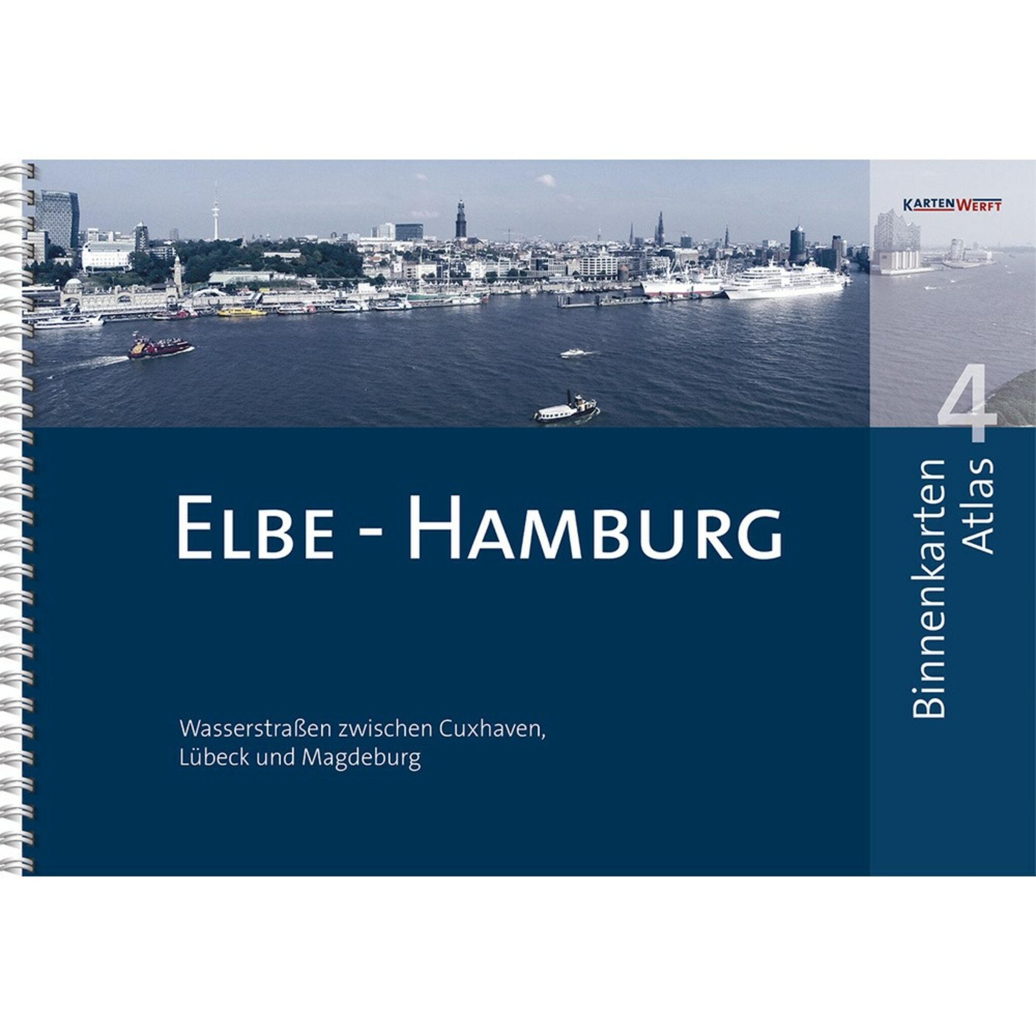
KartenWerft BINNENKARTEN ATLAS 4 Elbe - Hamburg
Map atlas in DIN A3 ring binder binding. The BINNENKARTEN ATLAS 4 from KartenWerft covers all waterways around Hamburg and the Elbe in general. From Cuxhaven via Hamburg to Magdeburg as well as the Elbe-Lübeck Canal from Lauenburg to Lübeck. For the sake of clarity, the waterways are divided into district sections: Lower Elbe, Lower Elbe tributaries, Hamburg Upper Elbe, Elbe-Lübeck Canal and Lower Middle Elbe. All districts are presented in detail and allow for easy and navigationally sensible cruise planning.
In addition, ATLAS 4 contains a total of 33 inland maps at a scale of 1:40,000 as well as 17 detailed maps (including.Glückstadt, Mühlenberger Loch, Hamburg Harbor, Bille, Dove Elbe, Alster, Lübeck, Dömitz and Magdeburg) at a scale of 1:20,00In addition, you will find in the ATLAS 4 a GPS-enabled degree grid in all maps and a product key to activate the BINNENKARTEN DIGITAL in the app KARTENWERFT NAVGO. The ATLAS comes to you including a 365-RevierService to update all notes, updates and messages.
Including Wasseerdurch by high-quality and transparent Atlas bag!
| Application area: | Elbe - Hamburg |
|---|---|
| ISBN: | 978-3-944082-33-2 |
| Number of pages: | 54 |


